The Shred 2015 @ Planet Hotham!!!
Can’t wait!! Finishing work early (hopefully!) to go home and get packing :D
Who’s going to be out boarding on Thursday afternoon?
I think only your car!
I am so annoyed - kevin has the day off and I could of. But cost too much to change our plane ticket. :-(
I didn’t know this when i booked.
Checked in for our flight and all ready and packed…
just gotta get through work tomorrow!
IT’S SHRED TIME!!
Packing for the shred ![]()

I think only your car!
I am so annoyed - kevin has the day off and I could of. But cost too much to change our plane ticket. :-(
I didn’t know this when i booked.
to make you feel better… the forecast isn’t 100% flash for today. Chance of storms, some clear precip….
Aww thanks!
It’s more like light hail / sago at the bottom here at falls. Shouldn’t hurt the snowpack too much unless it warms up.
it’s supposed to improve. I think the main game is tonight.
this is looking pretty spesh!

from Hotham Facebook
Grasshopper forecast for the weekend:
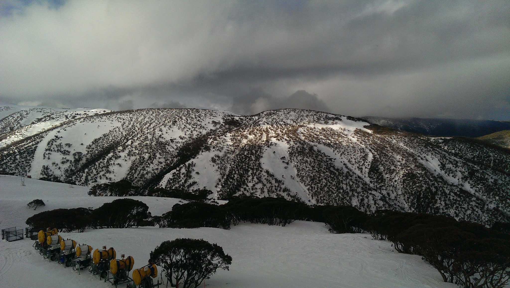
The sneaky low to the east of the Aussie Alps is spinning itself around in the Tasman Sea biding its time before making its next move. We will have light flurries/snow showers above 1800m and sleety showers on lower slopes this morning. Increasingly heavy snow showers will develop through this afternoon as we start to pull in colder air from the south as the low deepens a bit. Snow will get down to 1500m by this evening. Yesterday I mentioned that it was likely that NSW would do better out of this event, it now looks like VIC will also get some snow as the low is trending further to the west than in yesterday’s forecast. It’s hopping around like, well ... like a grasshopper. We can expect 10-20 cm of wet snow above 1700m across both NSW and VIC resorts.
The snow showers will fizzle out during the early hours of Friday morning as a high builds in from the west to leave partly cloudy skies and a few flurries. Saturday will stay partly cloudy with flurries between a high to the west and the low out on the Tasman Sea. A mini low embedded in the cold southerly flow heads for Tasmania on Saturday bringing the outside chance of a period of heavier snowfall on Sunday. At the moment the most likely outcome is that we will have a cloudy day with a couple of centimetres of snow. I am keeping my bug eyes on it. It will be much colder, any snow that does fall will get down to about 800m. Natural snow will be supplemented by snowmaking.
Friday: Partly cloudy with flurries.
Saturday: Partly cloudy with flurries. Colder.
Sunday: Overcast with snow showers giving between 2-5 cm of snow. Cold.
See ya’ll tomorrow kiddies! 
![]()
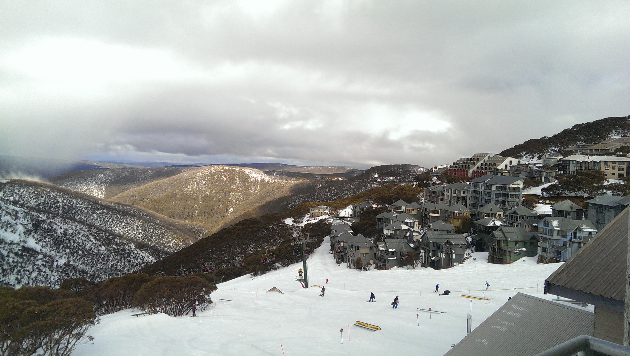
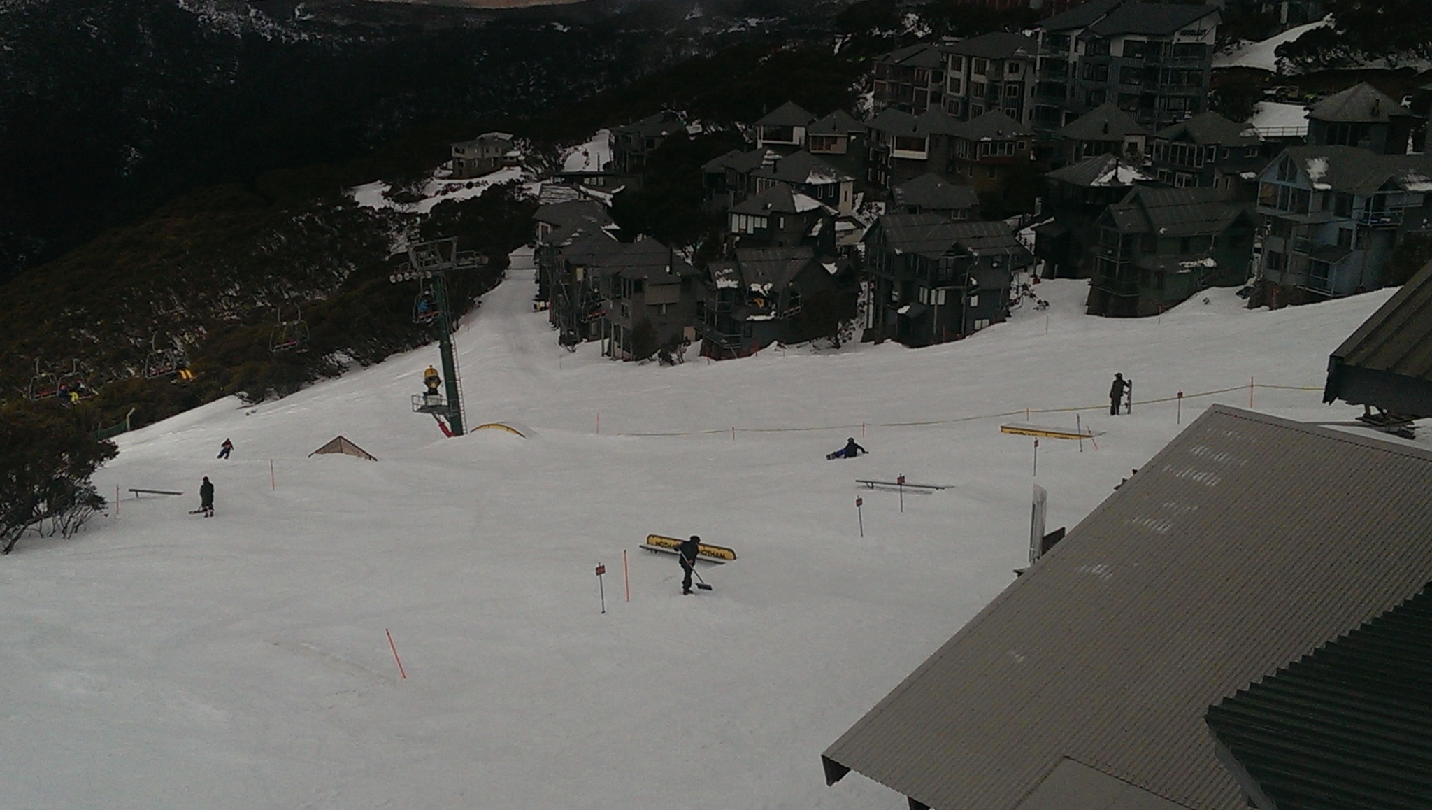
We have arrived!! Minus a sick drifterzx who will hopefully join us tomorrow.
Looking good here though, conveniently we have a park right out the back door and a cage to lock the drunk people in.
Looks good.
I want to go snowboards.
Looks great. I wish I could join you guys. Have an awesome time and please keep us up to date.
I’m a long way from snow right now! ![]()
